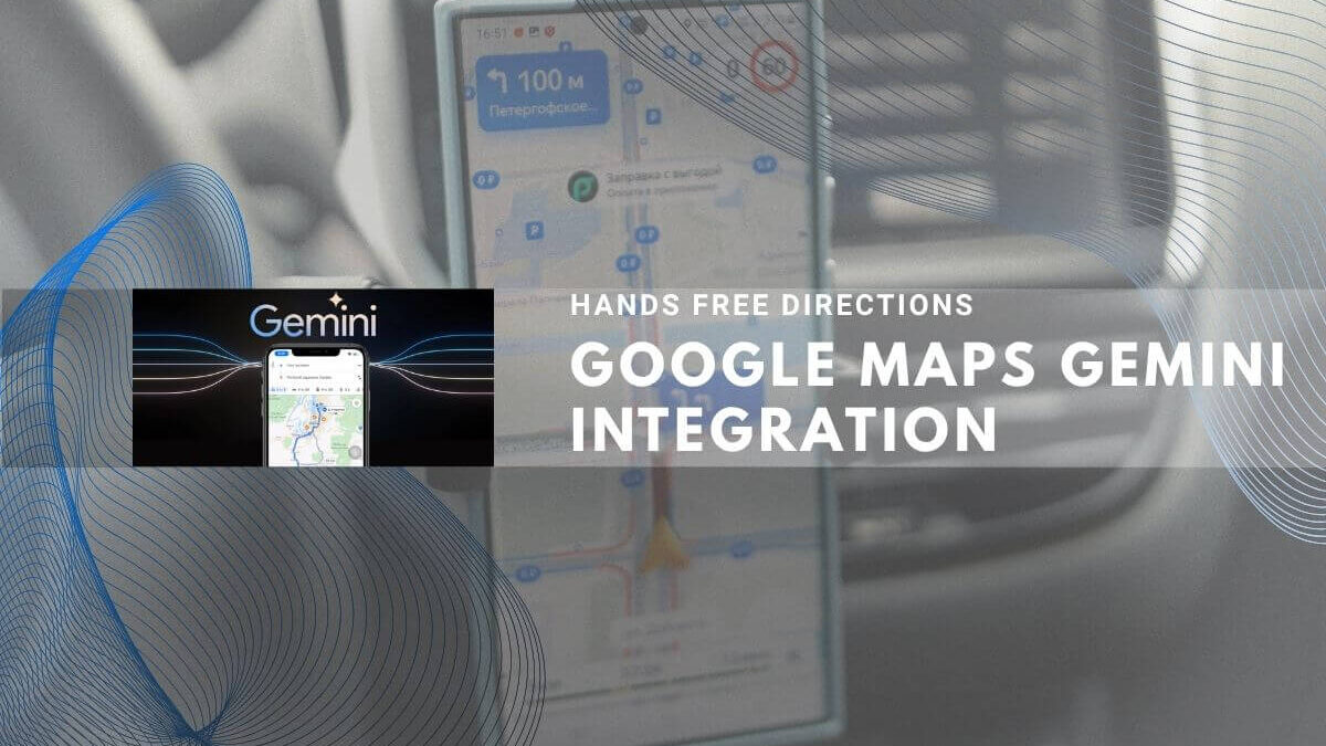
Google has embedded Gemini AI directly into Google Maps, enabling hands free driving and hands free features for natural conversation, landmark-based directions, and proactive traffic alerts. This AI integration adds hands free navigation and Gemini AI integration adds functionality to Maps, rolling out November 2025 to over 2 billion global users on Android and iOS devices. [1][2][3][4][5]
Conversational Navigation and Voice-Controlled Features
Drivers can now ask Gemini complex, multi-step questions without touching the screen. Examples include requesting “a budget-friendly restaurant with vegan options within two miles” or adding calendar events hands-free while driving.[6][7][3][5][1]
Google Maps Gemini draws exclusively from Google Maps’ verified database of 250 million locations accumulated over 20 years, minimizing AI hallucination risks that plague other chatbots.[8][2][3][4][1]
Core capabilities:
- Multi-step conversational requests and follow-up questions
- Traffic incident reporting by voice (“I see an accident,” “There is flooding”)
- Calendar event creation and arrival time sharing
- Local tips and place recommendations
- EV charger availability on Android devices
Rolling out in coming weeks on Android and iOS globally where Gemini is available.[3][5][1]
Landmark-Based Directions Reduce Driver Distraction
Instead of “turn right in 500 feet,” drivers now receive landmark-referenced guidance: “Turn right after the Thai Siam Restaurant,” with the landmark highlighted on screen.[5][8][3]
Gemini analyzes Street View imagery to identify visible, recognizable landmarks from 250 million cataloged locations, filtering obscure buildings that would confuse drivers. Research shows landmark-based navigation reduces cognitive load compared to distance estimates.[2][9][8][3][5]
Rolling out now on Android and iOS in the United States only.[10][3][5]
Proactive Traffic Alerts and Safety Features
Maps now alerts users to disruptions—accidents, closures, delays—even without active navigation enabled. Drivers receive time-impact estimates and route alternatives, addressing documented distracted-driving concerns linked to thousands of annual road deaths.[4][9][8][3][5]
| Region | Status | Platforms | Timeline |
|---|---|---|---|
| United States | Rolling out now | Android first | All roads |
| India | Coming weeks | Android first | Major highways (Delhi, Mumbai, Bangalore) |
India includes partnership with National Highways Authority of India (NHAI) for real-time highway closure and wayside amenity data.[11][12][6][5]
Gemini-Powered Lens for Visual Place Recognition
Users point their camera at locations and ask context-aware questions: “What is this place and why is it popular?” Gemini answers using Maps reviews, photos, and business data without typing or searching by name.[8][10][3][5]
Rolling out gradually later in November 2025 in the United States on both Android and iOS.[1][10][3][5]
India-Specific Features and Safety Partnerships
Google announced 10 India-first features beyond Gemini integration:
- Accident-prone area alerts (Gurugram, Cyberabad, Chandigarh, Faridabad) with visual/audio warnings
- Official speed limit display in 9 cities including Mumbai, Kolkata, Hyderabad
- Flyover voice guidance in 9 Indian languages for complex maneuvers
- Two-wheeler navigation customization with motorcycle/scooter icons
- Metro ticket integration with Google Wallet in Delhi, Bangalore, Kochi, Chennai (Mumbai coming soon)
Most features rolling out in coming weeks; accident alerts and speed limits already live.[12][13][14][6][11]
You may like: Gemini Enables Natural Language Integration
Data Grounding and Hallucination Safeguards
All Gemini responses source exclusively from Maps’ verified database of 250 million locations and 20 years of user reviews—not independently generated text. This architecture minimizes AI hallucination compared to open-ended conversational AI.[7][2][3][4][5][1]
Google Maps adds Gemini AI, bringing hands free driving and landmark-based directions to Android and iOS users. This maps adds Gemini integration, and the rollout prioritizes Android first. The integration adds Gemini AI features, enhancing Maps Gemini and Maps Gemini AI capabilities for over 2 billion global users.[9][3][5]